5.0M. South Sandwich Islands region 2024-06-07 04:32:50 (UTC)19.2 mi
4.9M. South Sandwich Islands region 2024-06-06 23:37:16 (UTC)21.8 mi
5.5M. South Sandwich Islands region 2024-06-06 22:58:44 (UTC)21.8 mi
5.3M. South Sandwich Islands region 2024-06-06 22:53:03 (UTC)
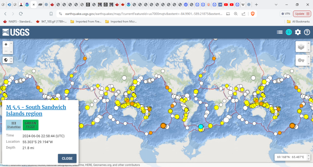
Nothing much since the 9th:
5.9M. southern Mid-Atlantic Ridge 2024-06-14 04:26:48 (UTC) and
5.9M. southern Mid-Atlantic Ridge 2024-06-14 09:51:57 (UTC)
I can’t explain why but I expected more.
Popocatépetl (Central Mexico): (13 Jun) Explosive activity continues. Plume to estimated 21000 ft (6400 m)
Sabancaya (Peru):Plume to 25000 ft (7600 m).
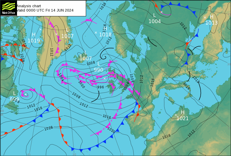
The day before: Popocatépetl (Central Mexico): Plume to 19000 ft (5800 m)
Sabancaya (Peru): Plume that rose up to estimated 27000 ft (8200 m)
And o the 11th June:
Sabancaya (Peru): Plume to 24000 ft (7300 m) Let’s have a look at that one
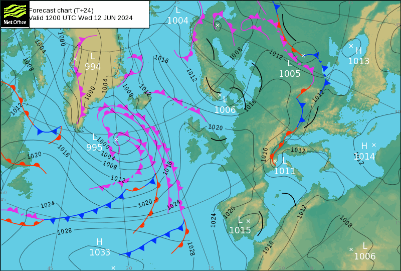
Low-995 looks like a shotgun blast. Who would have seen it coming from the day before?
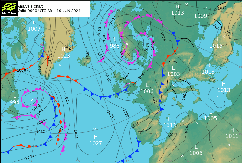
The refraction is right up in Norway/Sweden: Low-968The reflection has to be something to do with seismicity over the planis of South America for aome reaon it is edged out of position by the activities of:
Popocatépetl (Central Mexico): Plume 19000 ft (5800 m)
Nevado del Ruiz (Colombia): Plume to 22000 ft (6700 m) and
Sabancaya (Peru): Plume that rose up to estimated 26000 ft (7900 m)
Causing the anticyclone H-1027 quite why an eruption on the other sid of the world has the effect of causing anticylones is beyond me and how would soething in Asia pus the American ones all over the place when the South and Central Americas are so close?
It makes no sense.
The other anomaly is that Cyclones absorb Anticyclones. This is how they form tornadoes and line storms called Roll Clouds in Britian and Derchos in the USA.

Purchase Ready-Made Accounts Account market
Быстрое изготовление римских штор на заказ
римские шторы на заказ римские шторы на заказ .
Profitable Account Sales Buy Pre-made Account
Account Buying Service Accounts for Sale
Online Account Store Accounts market
Verified Accounts for Sale Account trading platform
Изготовление штор на заказ
пошив штор на заказ пошив штор на заказ .
Sell accounts Ready-Made Accounts for Sale
Social media account marketplace Website for Buying Accounts
Deneme Bonusu Veren Siteler Listesi · Jestbahis (300 TL Deneme Bonus)
En iyi deneme bonusu veren siteler ve popüler casino siteleri ile yüksek kazanç fırsatlarını keşfedin. Yeni siteler ve güncel bonuslar sizi bekliyor.
Database of Accounts for Sale socialmediaaccountsale.com
Discover the best of Candy Love’s private scenes. This page is a gem for Candy Love followers. Ultimate archive of Candy Love footage. One link to rule all Candy Love fans. Best Candy Love content just a click away. Candy Love is pure fire in every frame. This is Candy Love’s uncensored world. New face reveal of Candy Love uploaded. If Candy Love is your type, this is heaven candy love .online.
gaming account marketplace sell account
sell accounts sell account
website for selling accounts buy accounts
buy accounts buy and sell accounts
account buying service account store
website for buying accounts account market
profitable account sales account trading service
открыть компанию в великобритании https://zaregistrirovat-kompaniyu-england.com/
Deneme Bonusu Veren Siteler – Deneme Bonusu Güncel
открыть фирму в великобритании открытие бизнеса в великобритании
открытие компании в великобритании регистрация компании в великобритании
marketplace for ready-made accounts account store
purchase ready-made accounts account selling platform
secure account purchasing platform account market
регистрация фирмы в англии http://zaregistrirovat-kompaniyu-england.com